Convincing communities on benefits of using weather information

A survey in east Africa showed that people were not using the weather and climate information that was available. A project in a Kenyan county makes sure that communities use the weather information, by enabling interactions with meteorologists, and by helping the media report the information regularly in the vernacular language.
Heavy downpour in various parts of Kenya resulted in damage to property and infrastructure at the end of last year. There was also loss of life due to the flooding and landslides that ensued.
It turns out that the weather forecast information for September to December was indeed available. It appears that the people did not receive this information or did not heed if they did receive.
The heavy rains were caused by a phenomenon known as the Indian Ocean Dipole – which is the fluctuations in difference in sea surface temperatures between the western and eastern Indian Ocean. When the Indian Ocean Dipole results in the warming of the western Indian Ocean – where the East African hinterland lies – it causes heavy rains.
The unnecessary loss of life due to the deluge was no doubt unfortunate. Yet, it is a painful reminder of the need for weather and climate information to be tailor-made for the specific needs of the people in villages.
But importantly, it was essential that the community used the tailor-made weather information.
Unused weather information
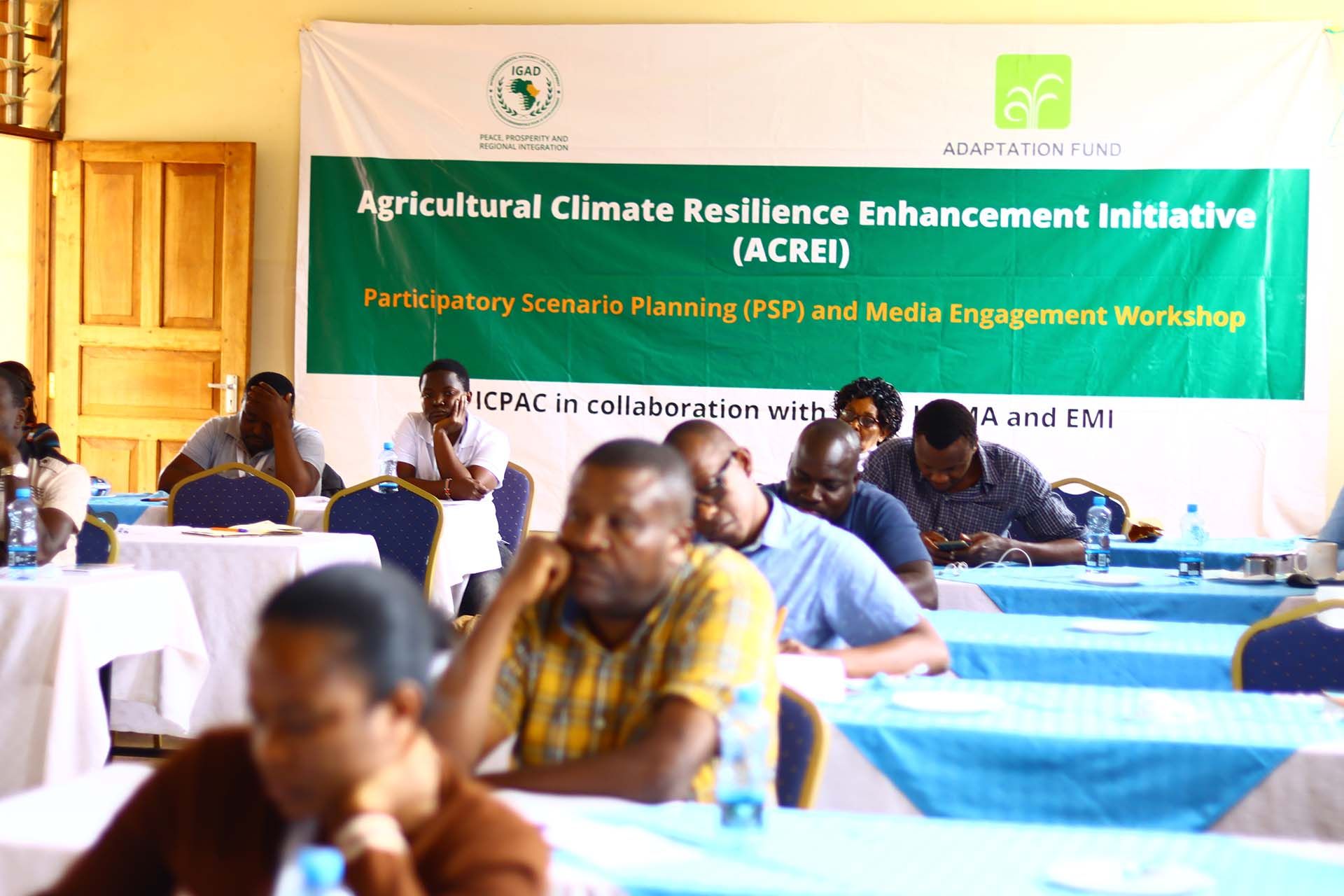
The fact that communities did not use available climate information was substantiated in 2019, after a three-month survey that the Agricultural Climate Resilience Enhancement Initiative (ACREI) had conducted.
ACREI, supported by the Adaptation Fund that finances projects in developing countries to adapt to climate change, had conducted the survey in Kenya, Ethiopia and Uganda.
The survey found many gaps in conveying climate information to the end user.
“The producers of climate information (meteorology department) were generating a lot of information, but the community was not using it,” explained Linda Ogallo of ICPAC that conducted the study – ICPAC being IGAD’s (Intergovernmental Authority on Development) Climate Prediction and Application Centre.
“Hence, there is a need to integrate indigenous traditional knowledge in the dissemination of climate information,” she had urged.
The survey found that 78%, 67% and 66% of respondents from Ethiopia, Kenya and Uganda respectively never offered feedback on the climate information they received.
In other words, the approach by climate information producers had always been top-down, or a one-way street. Users were never invited to contribute. The situation had to change.

Roping in the media
Encouraging the community to use the weather information is what exactly the Season-Media Action Plan (SMAP) – a climate information dissemination project – is doing in Kenya, Uganda and Ethiopia.
In Kenya, the project is being implemented in Taita Taveta County, a dry region of the country near the coast.
As part of the project, experts from the meteorological department and the media were brought together in a training geared towards mainstreaming climate change information in day-to-day reporting.
“We have trained journalists in partner media houses on climate terminologies,” said Collison Lore, user engagement expert at ICPAC, which is implementing the project.
One of the biggest drawbacks that journalists face when reporting weather and climate information in the region, is the use of terminologies which they seldom understand.
“If the journalist does not understand the jargon, it will be very difficult for the end user to understand,” he added.
Journalists are therefore trained on the use of these technical terms in the vernacular. This not only enables farmers to get the information, but also helps them understand it and make decisions based on that information.


Ensuring the use of climate information
Now press conferences are held every month to discuss climate change issues. It brings together the media, meteorologists including traditional weather forecasters and end users such as farmers. They exchange ideas and give feedback on their experiences.
Local FM radio stations collaborate in this effort to share information about the likely weather and climate events. This helps villagers plan their farming activities.
“The project has made our work a lot easier as we are now able to plan our reporting better and relay appropriate information that is useful to farmers,” said Lina Mwamachi a radio host at Sifa FM, a community radio station in Voi town of Taita Taveta County.

In addition, based on the weather forecast, farmers get information on the type of crops they can grow.
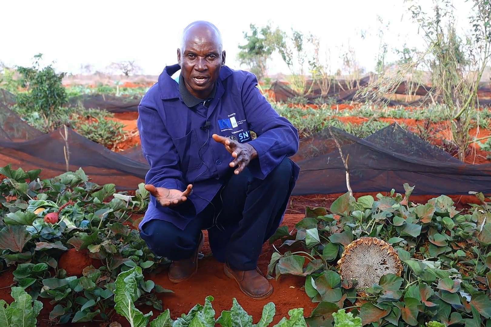
Elijah Mlegwa, a farmer in Manga village of Taita Taveta County, is a beneficiary of the weather and climate information of the SMAP initiative.
“We get information on how long the rainy season will last. So based on that, we get advice on the types of crops to grow and the time to plant them,” said Mlegwa. “For example, we are expecting the rains to begin in early November and end in the second or third week of December. Since we will get the rains only for a month and it will not be enough to grow crops like maize, I will choose to grow drought-tolerant or early maturing crops.”
While Mlegwa’s experience is an example of how farmers benefit from the weather information, it shows that when the entire community uses it, the information can minimise losses due to floods and landslides the way it happened last year.


Member discussion